Greta Brown
M.S. in Computer Science Student, University of Minnesota - Twin Cities
brow6802@umn.edu
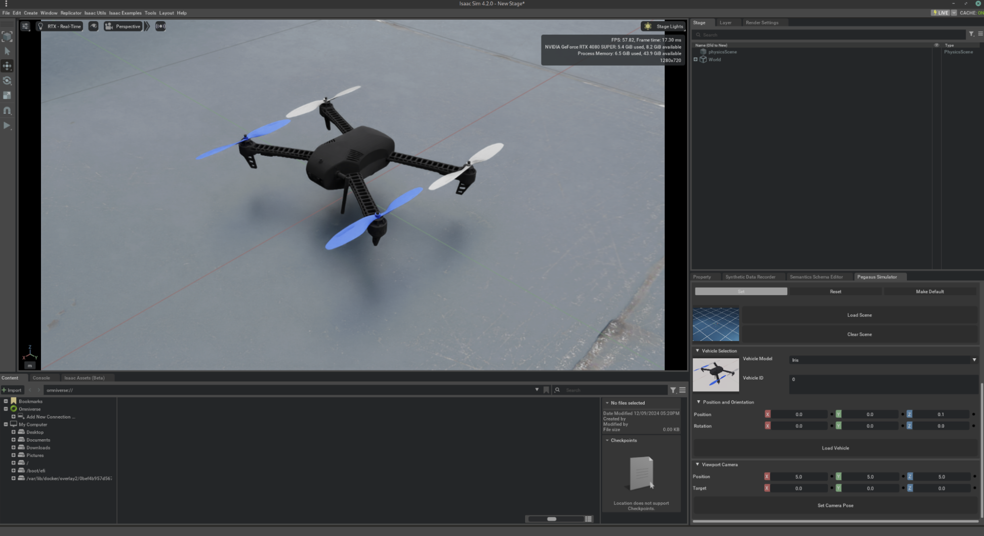
Autonomous Drone 3D Mapping with Stereo SLAM
- Worked in a collaborative team to develop a drone simulation project.
- Simulated Stereo Visual-Inertial SLAM (Simultaneous Localization and Mapping) algorithm for real-time 3D mapping for drones.
- Generated point clouds and visualized 3D maps using ROS2 Gazebo and PX4 simulation.
- Gained experience in group project development and presentation, ROS2, and data visualization.
- Project GitHub link